Cutting-edge Drone Survey and Scanning for enhanced project accuracy
UAV surveys in Geelong, Melbourne, Torquay and Warrnambool
As technology evolves, so do the methods we use to capture precise survey data. At Smith Land Consulting, we specialise in aerial and terrestrial scanning, providing highly accurate data for large-scale land surveys and detailed 3D modelling of built environments.
Our advanced drone and scanning technology allows us to efficiently survey vast areas while reducing costs compared to traditional methods. With over a decade of experience, our teams in Geelong, Melbourne, Torquay and Warrnambool can advise you on how this technology can enhance your project by improving accuracy, streamlining workflows, and delivering cost-effective solutions.
Drone Survey
Our UAV (Unmanned Aerial Vehicle) surveys provide a fast, accurate, and cost-effective solution for capturing high-resolution aerial data. At Smith Land Consulting, we specialise in drone surveys, delivering detailed imagery, topographic mapping, and site analysis for a wide range of applications.
Ideal for large-scale land assessments and remote sensing, our drone surveys efficiently capture precise data over expansive or hard-to-access areas. The collected data integrates seamlessly with GIS software and 3D modelling tools, ensuring smooth workflow integration for planning, design, and analysis.

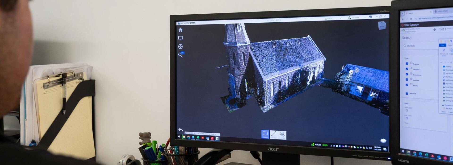
3D Laser scanning
We offer advanced terrestrial laser scanning services that enable your designers and engineers to capture precise 3D data of your land and structures. Utilising cutting-edge technology, our 3D laser scanning service collects millions of accurate-dense 3D points, capturing intricate details, hidden cavities, and hard-to-reach surfaces across your project site. Whether creating detailed 3D models for CAD, BIM, VR, or AR applications, or supporting infrastructure and facility management across various sectors, Smith Land Consulting ensures comprehensive terrestrial laser land scanning solutions tailored to meet your project’s specific needs.
Trust our expertise to deliver accurate and detailed digital terrain mapping and orientate your point cloud data to survey, MGA, or Australian Height Datum standards.