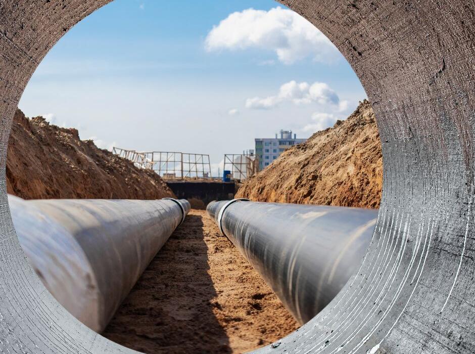
Underground service locating is one of the most important investigations that can be undertaken before design, construction or excavation begins. From residential developments and industrial projects through to major infrastructure works, understanding what lies beneath the surface helps reduce risk, improve safety and provide greater confidence throughout the project lifecycle.
As underground utility networks become increasingly complex, the demand for professional underground service locating, utility mapping and underground asset surveys continues to grow across Melbourne, Geelong and regional Victoria. Identifying buried infrastructure before construction starts can help avoid costly delays, service strikes and design conflicts while providing project teams with the information they need to make informed decisions.
Why underground service locating is critical
Most sites contain a network of buried infrastructure that may include water mains, sewer pipes, stormwater drainage, electrical cables, gas mains and telecommunications services. While some of these assets are well documented, others may have changed over time or be difficult to locate using records alone.
Without accurate underground utility information, excavation works can become a significant risk. Utility strikes can result in safety incidents, damage to critical infrastructure, project delays and increased construction costs.
Professional underground service locating provides project teams with a clearer understanding of existing site conditions before work begins. By identifying the location, alignment and depth of underground assets, potential conflicts can be identified early and incorporated into the design and construction process.
The process starts before arriving onsite
Effective underground service locating begins well before a technician attends site.
A key part of the process involves reviewing available utility records through Before You Dig Australia (BYDA), which provides access to plans and information from participating utility asset owners. This preliminary investigation helps identify known infrastructure, relevant service authorities and potential areas requiring further investigation.
These records provide a valuable starting point, but they should not be relied upon as the sole source of information. Professional underground utility locators use these plans alongside onsite investigations to verify, trace and map underground services accurately.
This combination of desktop investigation and field verification helps deliver a much higher level of confidence than relying on existing records alone.
Combining underground locating with surveying
One of the biggest advancements in underground utility investigations is the integration of service locating and surveying.
Rather than simply marking services on the ground, many projects now require underground assets to be surveyed and incorporated into digital site models. This provides engineers, designers and contractors with accurate underground information that can be viewed alongside feature and level survey data.
A recent project delivered by Smith Land Consulting’s specialist locating division, Precision Underground Locating, demonstrates the benefits of this approach. During a major infrastructure investigation in northern Victoria, underground service locator Lance worked alongside surveyor Liam for five days to identify, verify and survey underground assets throughout the project corridor.
As services were located and marked onsite, they were immediately measured and captured by survey, allowing the underground infrastructure to be integrated directly into an existing feature and level survey. The result was a coordinated dataset showing both the surface and subsurface conditions across the site.
For engineering and infrastructure projects, this integrated approach can significantly improve design efficiency while reducing uncertainty during construction.
Why utility mapping requirements vary between projects
No two clients use underground utility information in exactly the same way.
Some contractors require service depths relative to the existing ground surface so they can quickly assess excavation requirements and identify potential construction risks.
Engineering consultants often require more advanced deliverables, including three-dimensional utility models or Reduced Levels (RLs) directly to underground service alignments. This allows the information to be imported directly into engineering design software and assessed against proposed infrastructure.
Providing data in the format required by the client is just as important as collecting accurate information in the field. Tailored utility mapping outputs help ensure project teams can immediately utilise the data without the need for additional processing or interpretation.
The role of GPR and advanced locating technology
Modern underground service locating relies on a combination of proven techniques and advanced technology.
Electromagnetic locating remains one of the most effective methods for tracing conductive utilities such as electrical cables and metallic pipelines. Ground Penetrating Radar (GPR) provides an additional layer of information by helping identify non-metallic services and underground features that may not be detectable through standard locating methods alone.
By combining multiple technologies with professional experience and field verification, underground utility locators can build a more complete picture of subsurface conditions and reduce uncertainty across a project site.
The benefits of professional underground service locating
Investing in underground service locating before design or construction begins can provide significant benefits, including:
- Reduced risk of utility strikes
- Improved site safety
- More accurate engineering designs
- Fewer construction delays
- Reduced project costs
- Improved excavation planning
- Better coordination between consultants and contractors
- Increased confidence during construction
- For developers, engineers, contractors and asset owners, accurate underground utility information has become a critical part of effective project planning.
Partner with experienced underground service locators
At Smith Land Consulting, our specialist underground utility division, Precision Underground Locating, combines professional underground service locating, utility mapping, GPR investigations and surveying expertise to deliver reliable underground asset information across Victoria.
By integrating underground service locating with surveying and digital modelling, we help clients gain a complete understanding of both the visible and hidden conditions on their sites before construction begins.
If your project requires underground service locating, utility mapping, underground asset surveys or GPR investigations, contact the team at Smith Land Consulting to discuss how we can help support your next project.