- Qualifications
- Advanced Diploma of Surveying - RMIT
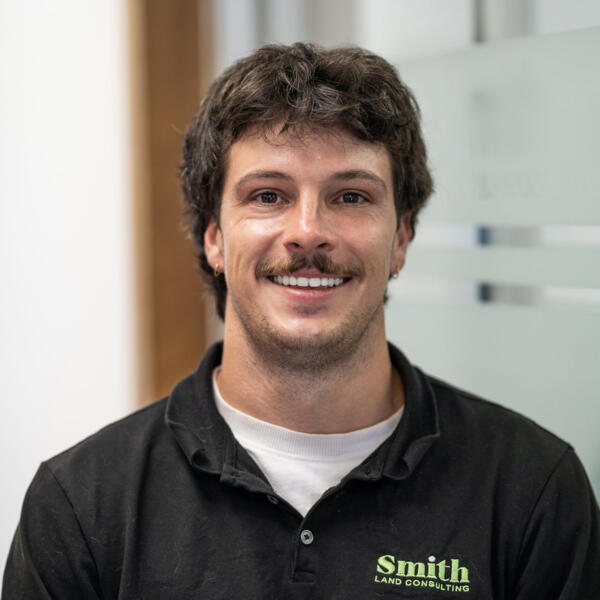
Sam Meier
Project Surveyor- Qualifications
- Advanced Diploma of Surveying - RMIT
Samuel Meier is a land surveyor with over 10 years of experience, specialising in topographic surveys, re-establishment surveys, 3D scanning, and UAV drone surveys. As a CASA-certified drone pilot, Samuel uses the latest drone technology to collect accurate data and make surveying projects faster and more efficient.
Samuel works with tools like photogrammetry and UAVs to create detailed 3D models and maps. Whether it’s topographic mapping, helping to re-establish property boundaries, or flying drones for aerial surveys, Samuel provides clients with clear, useful information to help with construction, development, and environmental projects.
Known for being thorough and reliable, Samuel combines traditional surveying methods with modern technology to get the job done right. From aerial surveys to on-the-ground work, they deliver reliable, high-quality results every time.